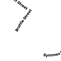
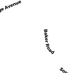
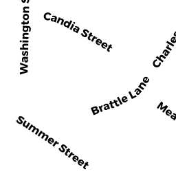
179 BRATTLE ST
Owner Information
FITZPATRICK JOSEPH M
179 BRATTLE STREET
ARLINGTON, MA 02474


Property Details
179 BRATTLE ST is classified as a Single Family Residential (Ranch).
The primary structure on this property was built in 1923. There are 1,544ft2 of built area within this property. There is 1,544ft2 of residential/living space within this property. This property is listed as having 7 rooms.
179 BRATTLE ST is valued at $697,700. The land is valued at $482,500 and the structures are valued at $215,200.
This property is in Zone R1. Confirm with local Zoning Board authorities to ensure there are no overlays or other easements on this property.
The most recent deed for 179 BRATTLE ST is recorded at the local registrar in Book 49968, Page 166. 179 BRATTLE ST was last sold on Monday, August 20, 2007 for $425,000.
Assessment data from fiscal year 2022.
Flood Data
According to the FEMA National Flood Hazard Layer, this property does not appear to be in a flood zone. It may also be in an area not yet reviewed. Nonetheless, confirm this information prior to taking any action.
To view the flood hazards around this property, create a FEMA "Firmette" Map of the area around 179 BRATTLE ST.
Broadband Internet Providers
| Provider | Type | Bandwidth (mbps) | |
|---|---|---|---|
| Verizon New England Inc. | DSL | 5 | 0 |
| VSAT Systems, LLC. | Satellite | 2 | 1 |
| Verizon New England Inc. | Fiber | 940 | 880 |
| GCI Communication Corp. | Satellite | 0 | 0 |
| T-Mobile | Fixed Wireless | 25 | 3 |
| Viasat Inc | Satellite | 100 | 3 |
| Starry, Inc. | Fixed Wireless | 200 | 200 |
| HughesNet | Satellite | 25 | 3 |
| RCN | Cable | 500 | 20 |
| Comcast | Cable | 1000 | 35 |
Broadband service provider data from December 2020.
Adjacent Properties
- 106 WOODSIDE LN
Single Family Residential owned by LIBBY TIMOTHY S & - 4105 SYMMES CIR
Apartments with More than Eight Units owned by FHF 1 ARLINGTON 360 LLC - 2001 SYMMES CIR
Residential Condominium owned by BARGLOW DAMON C - 2002 SYMMES CIR
Residential Condominium owned by STEINBERG HOWARD & - 2003 SYMMES CIR
Residential Condominium owned by CHOI JOHN & - 2004 SYMMES CIR
Residential Condominium owned by QIN KE & - 2005 SYMMES CIR
Residential Condominium owned by ZHAO SONGPING - 2006 SYMMES CIR
Residential Condominium owned by ZHANG YUN & DING RU & - 2007 SYMMES CIR
Residential Condominium owned by CHUNG JANET & - 2008 SYMMES CIR
Residential Condominium owned by SCHUBERT DAVID ARTHUR - 2009 SYMMES CIR
Residential Condominium owned by LONKAR AJINKYA - 2010 SYMMES CIR
Residential Condominium owned by DABU FERDINAND - 2011 SYMMES CIR
Residential Condominium owned by BOYCHENKO SERGEY & - 2012 SYMMES CIR
Residential Condominium owned by DHAMANKAR HIMANSHU HEMANT - 0 LOT BRATTLE ST
Undevelopable Residential Land owned by MOLDOVAN RICHARD J & - 177 BRATTLE ST
Single Family Residential owned by DALTON JOSEPH W/CARA N